Cricklade to The Source
Cricklade to The Source | |
| Upstream: Back to Main Page | Back to Main Page | Downstream: Cricklade to Lechlade |
Introduction
The final part of the Thames Path is from the town of Cricklade, to the source of the Thames, near Cirencester. Soon after leaving Cricklade, the path pases into the Cotswold Water Park round the edge of several lakes, the largest being Manorbrook Lake before coming into the lovely town of Ashton Keynes. Beyond Ashton Keynes the Thames again pases more lakes and the edge of the villages of Somerford Keynes, Ewen and Kemble on it's way to the stone that marks the source of the Thames and the end of the Thames Path.
Getting to the Start
Cricklade is just off the busy A419 dual carriageway linking junction 15 of the M4 and Cirencester, with Cricklade roughly half-way between the two. Parking in Cricklade is mostly on-street parking, including in the High Street, although there is a small car park at the top end of the high street.
If you're travelling by public transport, Stagecoach in Swindon service 51 operates hourly from Swindon to Cricklade, Cirencester and Cheltenham. This service stops in the High Street in the town centre. If you're travelling from further afield both Swindon and Cheltenham have railway stations. Swindon Bus station is a few minutes walk from the main-line railway station, which has frequent services to Reading, Didcot, London, Bath, Bristol, Weston-super-Mare and Gloucester. In Cheltenham the station (Cheltenham Spa) is a little further, around a 15 to 20 minute walk, from the bus station. There are frequent trains from Cheltenham Spa to Gloucester, Birmingham, Bristol, Taunton, Exeter and Plymouth. Cricklade is 20 minutes by bus from Swindon and 75 minutes from Cheltenham. Thamesdown Transport services 52 and 53 also operate to Cricklade from Swindon and Ashton Keynes.
The Walk
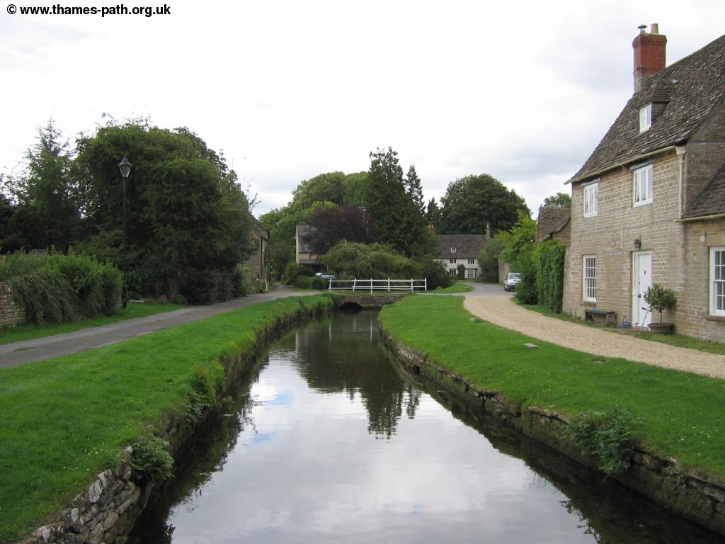
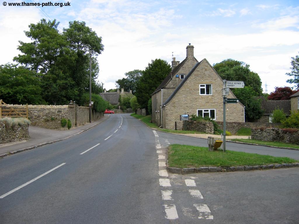
Cricklade high street is a typical Cotswolds Town, with many historic buildings (mostly made of Cotswold Stone) lining it's High Street. There are also modern houses on the edge of the town.
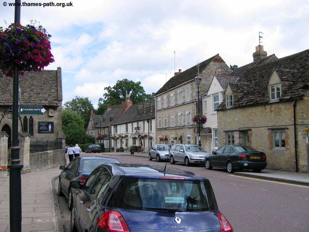 |
| Cricklade |
The Thames path starts from the bottom end of the High Street, Head down the high street and just before the bridge, turn left into North Wall. As this road turns to the left, the Thames Path continues straight ahead past some houses and into a field, with houses on the left. The path then sticks to the left hand side of this field and at the end of the field, you will see a stile into the next field, where the path continues into the meadow. Soon you come to a small bridge over the river, now a narrow stream, to the other bank and into North Meadow.
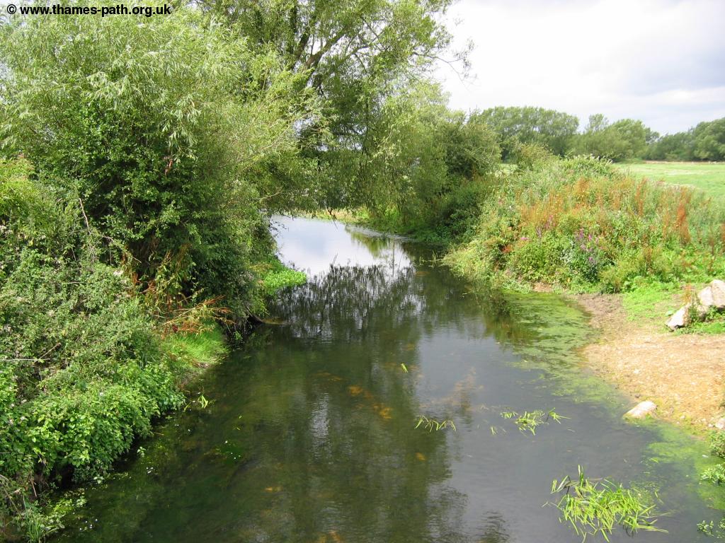 |
| The Thames near Cricklade |
Soon you pass a small weir on the left, surrounded by barbed wire, The path continues across North Meadow, passing an information board about the site, now a Nature Reserve. You continue through this open field for the next mile or so.
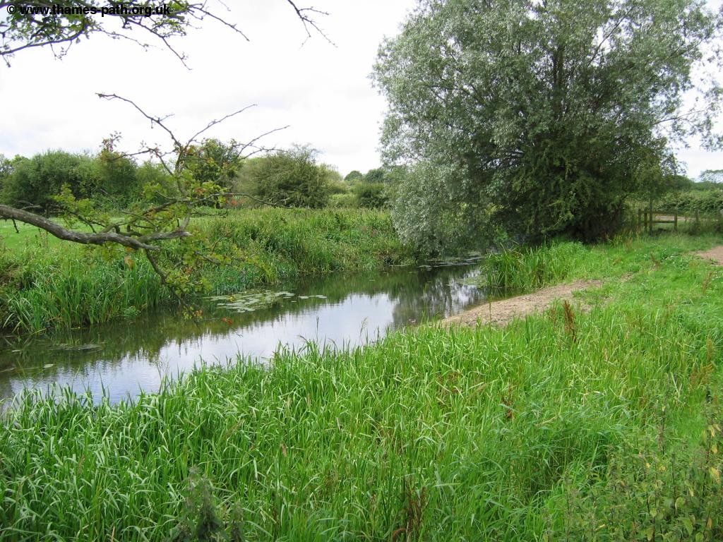 |
| The Thames through North Meadow |
Soon you pass a bridge which once carried a canal (The North Wiltshire Canal) from Swindon and soon after a much larger bridge, which was built to carry the now closed Midland and South Western Junction Railway between Cheltenham and Andover. Part of this line has now re-opened as a steam railway (known as the Swindon and Cricklade Railway) with trains running between Hayes Knoll and Blunsdon, with an extension south under construction. Once under this bridge, the Thames Path now climbs onto this old railway line and follows it's course for a short while to the North.
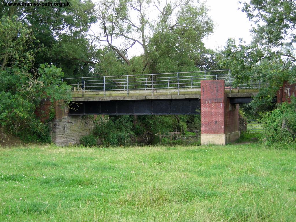 |
 |
| The old Railway bridge | The Thames path on the old Railway Line |
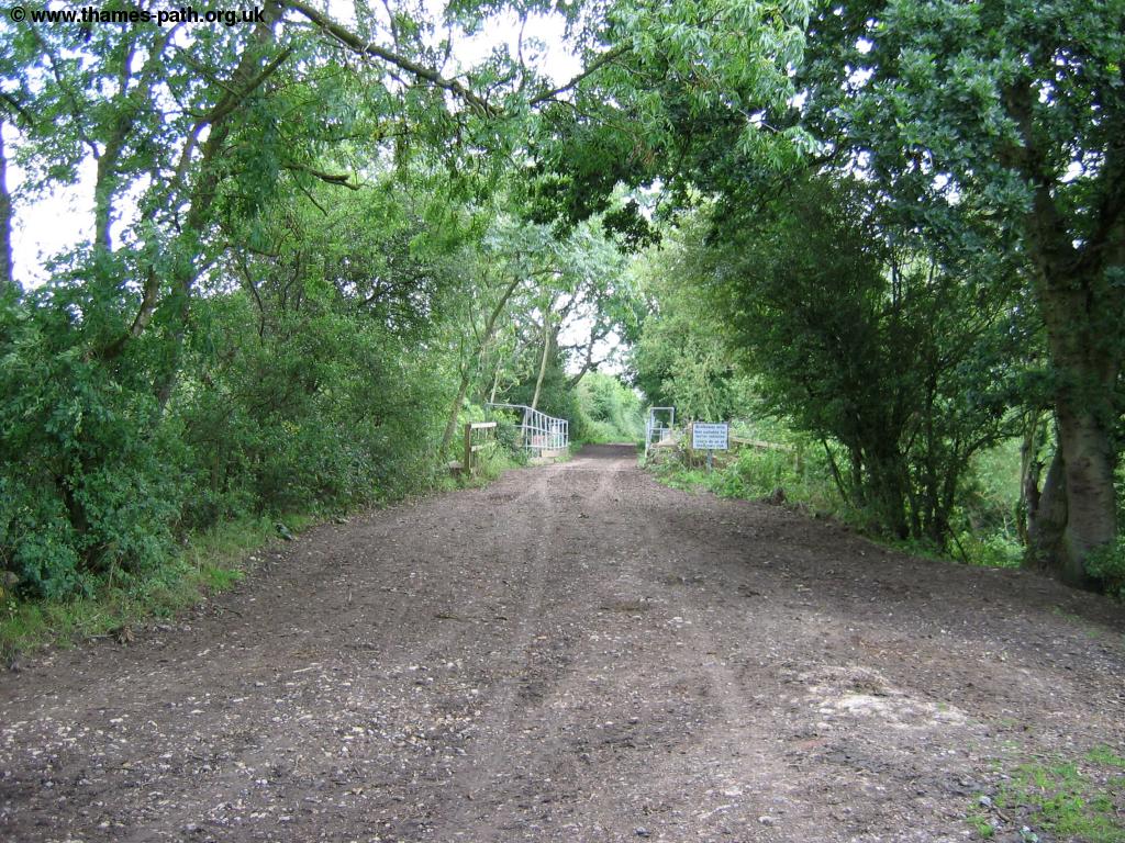
After continuing on the railway line for a while, passing over an old bridge, you turn left, then almost immediately right, onto the track. The old railway line continues north to South Cerney. Shortly after joining this track you turn left and then follow the path as it turns to the left once more. When signed turn right, where the path continues straight on towards Halistone House and hill. Soon, where you reach the footbridge, turn left and follow the path through the meadow. Soon you come to a sign welcoming you to Cleveland Lakes, part of the larger Cotswold Water Park, which claims to be the countries largest water park. These lakes were previously gravel workings, but were purchased in 2003 by the Cotswold Water Park Society for nature conservation and water sports. Part of the area is still being quarried, but should open to the public in 2005. A new bird viewing hide has already been constructed and is signed off to the right here. Soon the path rejoins the Thames on the left, now very narrow and quite overgrown, with a lake to the right.
 |
 |
| The Thames at Cleveland Lakes | A lake next to the Thames |
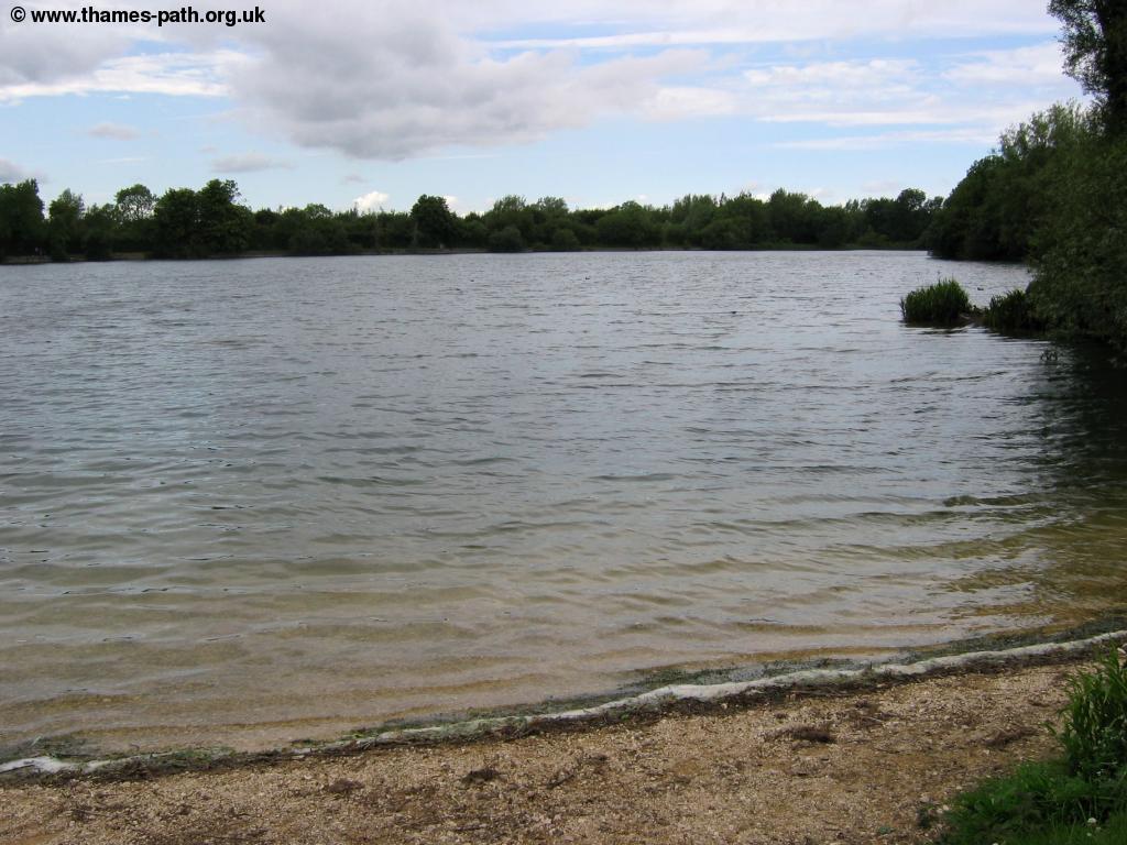
Soon you pass a disused and now crumbling bridge to the left and soon after this bridge the path turns to the right, now passing the large Manorbrook lake on the left.
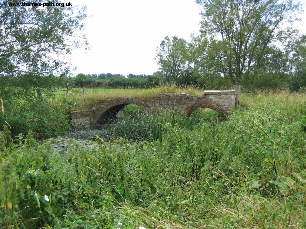 |
| A disused bridge near Manorbrook Lake |
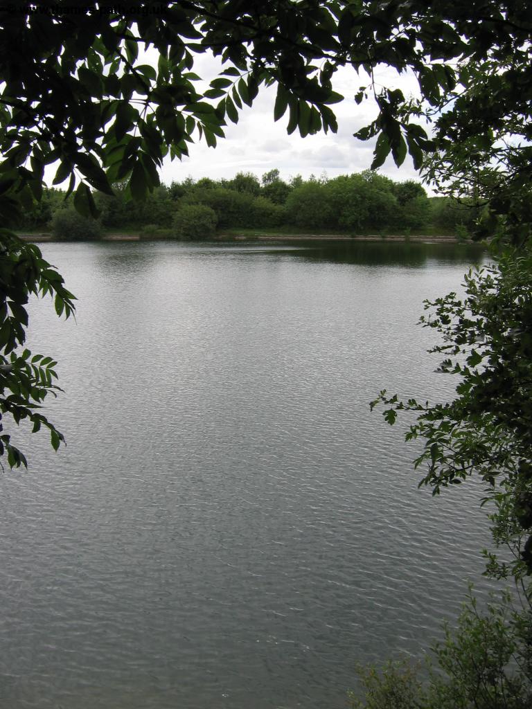
The path now pases the eastern side of Manorbrook lake, then turns to the left around the north side of the lake. This lake is a popular location for water sports as well as being a haven for wildlife.
 |
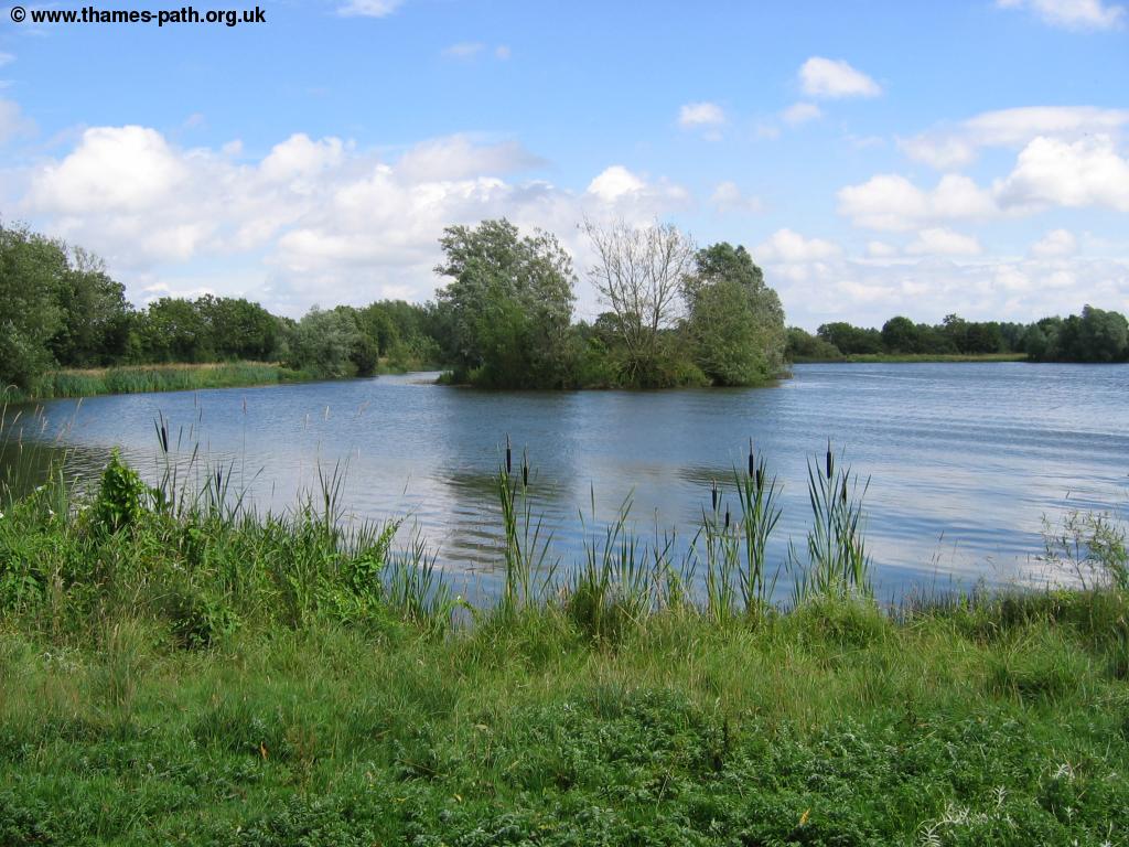 |
| Manorbrook Lake | Manorbrook Lake |
 |
|
| Manorbrook Lake |
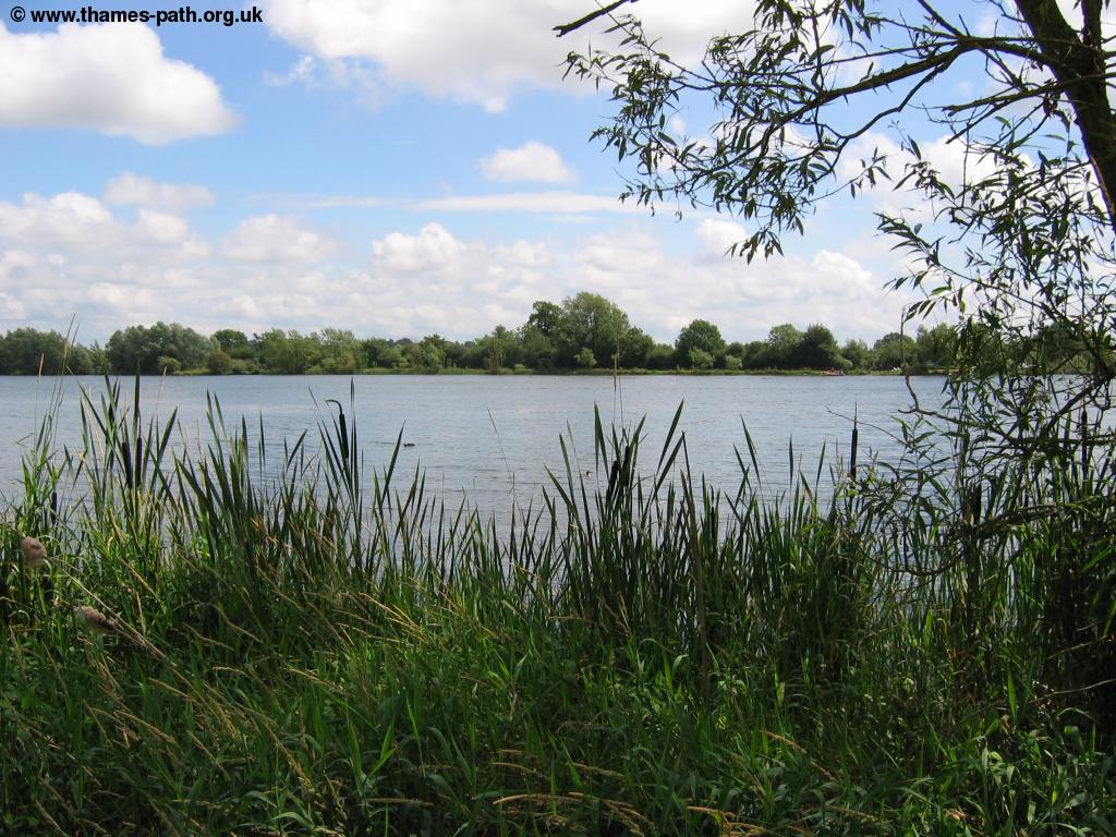
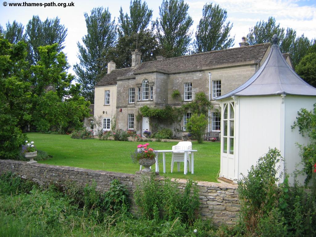
Soon the path turns to the left going down the west side of the lake before turning right to the south of another lake, which appears to be much shallower, eventually meeting another footpath the heads off to the north. When you emerge on this lane you turn left then shortly afterwards turn right, across the old gravel works, emerging into the millennium field then onto to a sports field, marking the outskirts of Ashton Keynes. You cross more or less diagonally across the field (well, unless a game of cricket is taking place), emerging onto the road and continuing behind houses, emerging onto Back Street. Sadly although a pub is marked on the map in this street, it seems to have closed. However the White Hart is a short walk away if you are in need of refreshment. Continuing on the street you get to Church Walk and the beautiful scene of Cotswold cottages and a pretty stream passing through the middle, with seats on either side.
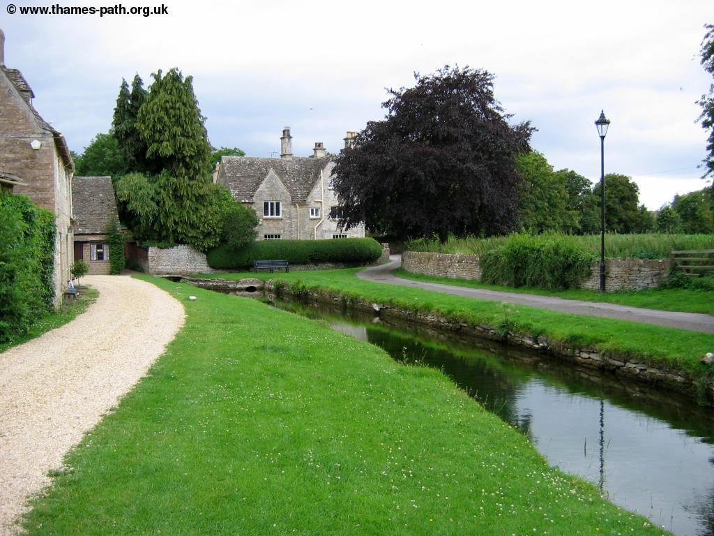 |
 |
| Ashton Keynes | Ashton Keynes |
At the end the path continues straight on now returning to more of the lakes that make up the Cotswold Water Park, though from here the path is once more adjacent to the Thames through it's tree-lined setting. The Thames is now very narrow and shallow, and the small stone bridge that crosses through these woods is a very simple affair.
 |
 |
| The Thames beyond Ashton Keynes | A simple bridge crosses the Thames |
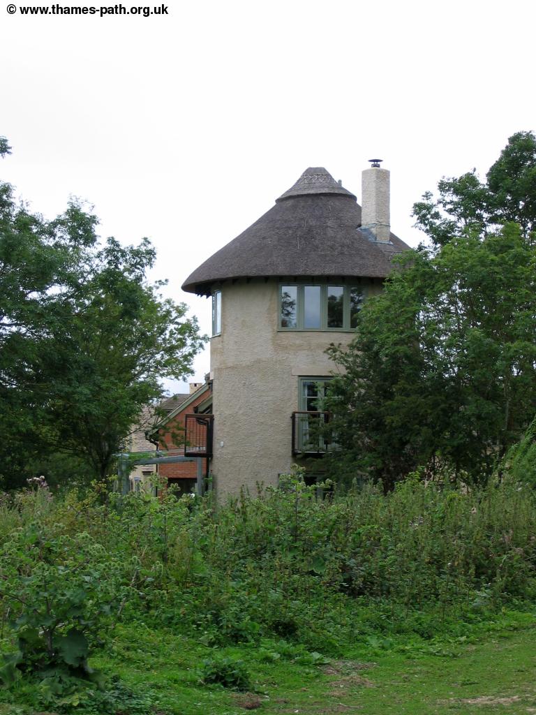
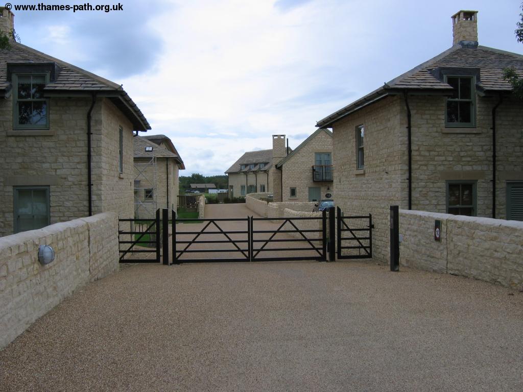
Continuing with the lakes on both sides you come to the edge of a more modern housing estate where you eventually emerge onto the road through the estate, with the lake to your right. These modern houses have been constructed quite sensitively however being of varied design and made of traditional Cotswold Stone.
 |
 |
| Modern houses near Somerford Keynes | Modern houses near Somerford Keynes |
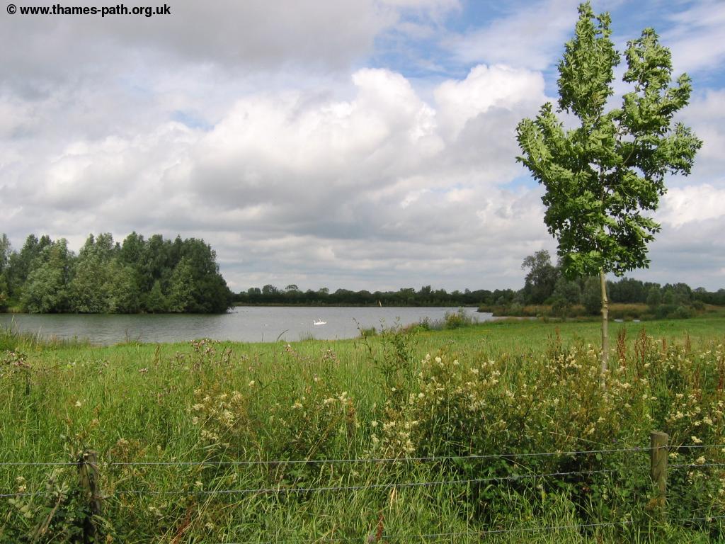
Continue on the residential road until you emerge onto the busy main road where you turn left. When the road comes to a junction ahead, turn right into the Neigh Bridge Country Park. Once into the Country Park you'll find seats next to the lake, as the path climbs up around the north side of the lake, where there is a network of paths, however all of them seem to emerge to the same place at the end of the lake. where the Thames path turns to the right, leaving the last of the lakes.
 |
 |
| Neigh Bridge Country Park | Neigh Bridge Country Park |
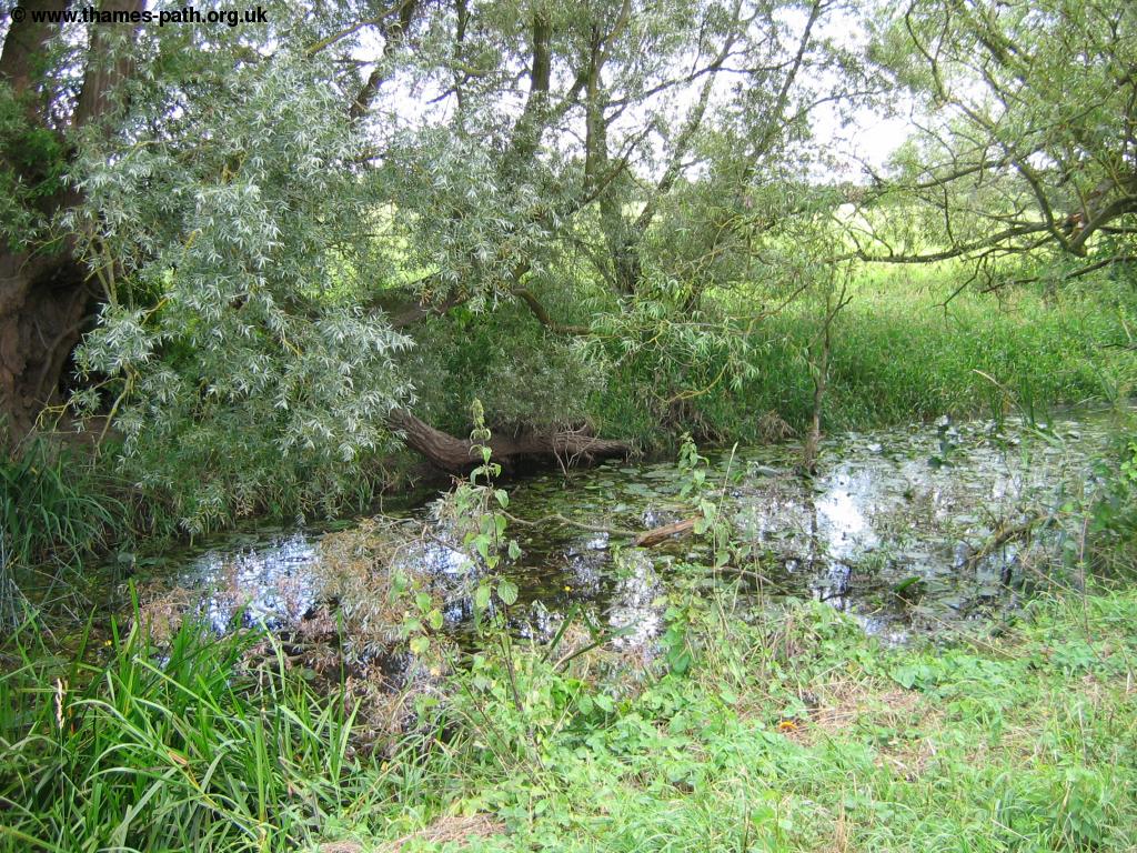
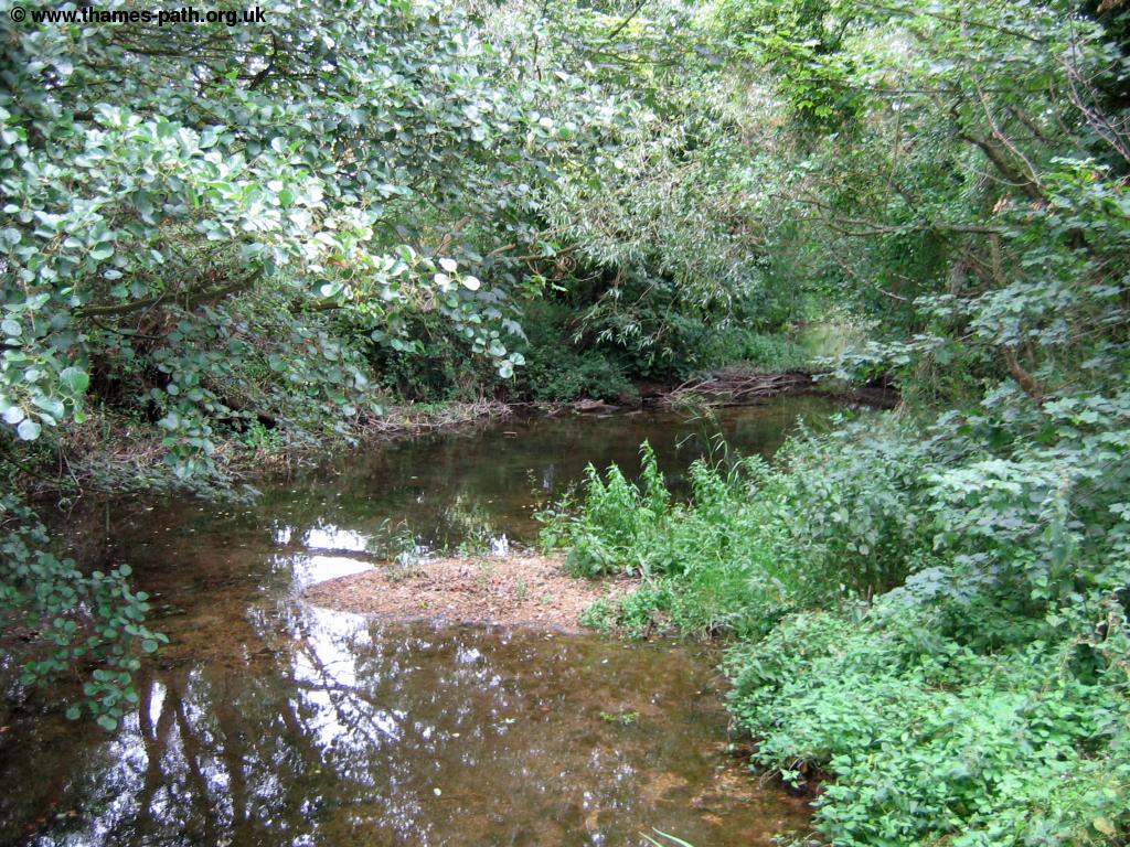
Continue next to the Thames again passing Kemble Mill to the left (although still some distance from Kemble), crossing a small footbridge, giving views of the village Somerford Keynes to your right across the meadows. There is path off into the village to the right should you wish to see the village from closer quarters. The river can be dry at this point although I find there is still water, although it is beginning to silt up.
 |
 |
| The Thames begins to dry up | Somerford Keynes |
Passing the old mill farm to the left the path continues towards the Upper Mill Farm, passing one of the most basic Thames bridges yet - a log placed over the river, a far cry from the ornate bridges that cross the Thames through London. Soon you pass through a field with a wind pump to the right.
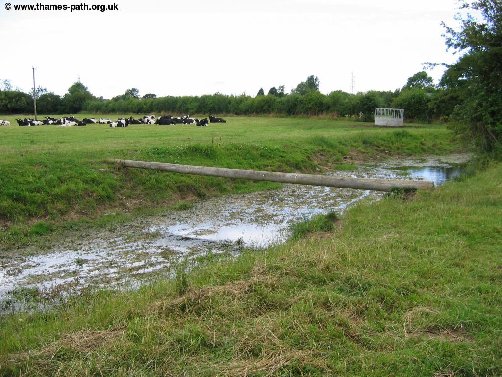 |
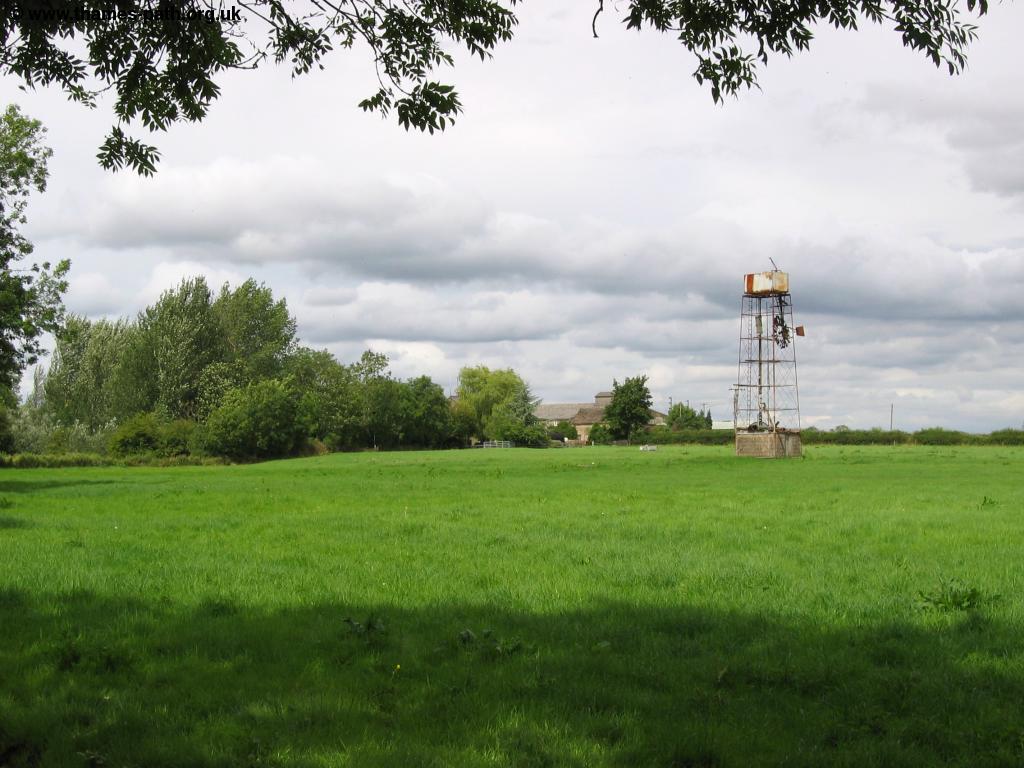 |
| A basic bridge cross the Thames | A wind pump in the field |
Once beyond the farm the path continues through open fields, with the river becoming increasingly silted, a normally peaceful scene, but for the high-powered military jets that are flying overhead from the nearby Fairford Airshow, including what I think is a B2 Stealth Bomber.
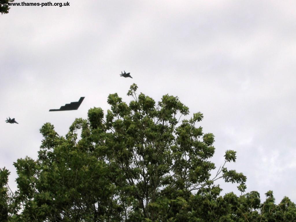 |
 |
| A B2 Stealth Bomber from the nearby airshow | The Thames now silting up |
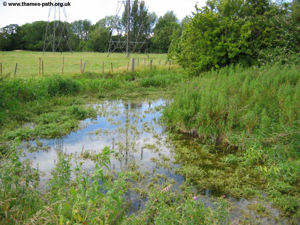
Soon the path comes to some large pylons, with the power cables stretching as far as you can see to the south. On the river there is some sort of small weir constructed here (the last on the river) before the houses of the village of Ewen come into view.
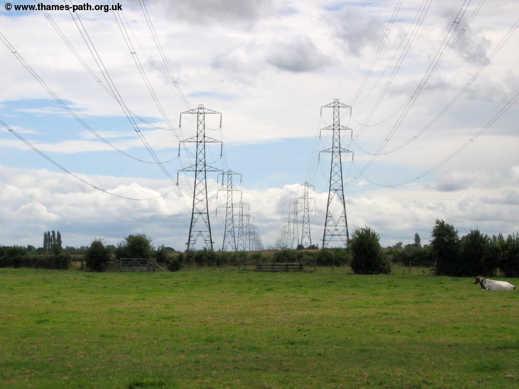 |
 |
| Power lines near Ewen | A small weir near Ewen |
 |
|
| Ewen |
As you get towards Home Farm on the right the path now joins the road from the farm onto the road on the edge of Ewen where you turn left through the edge of the village and alongside the road for a while before turning right when signed near Parkers Bridge.
 |
 |
| A bridge near Ewen | Ewen, where the farm road meets the main road |
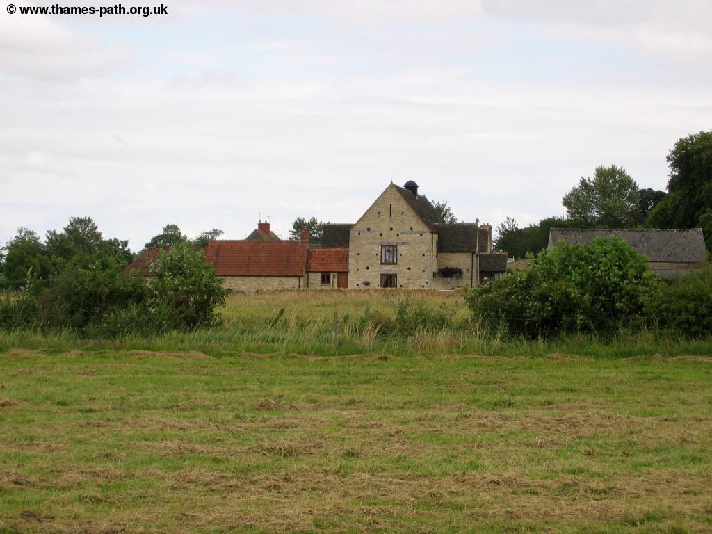
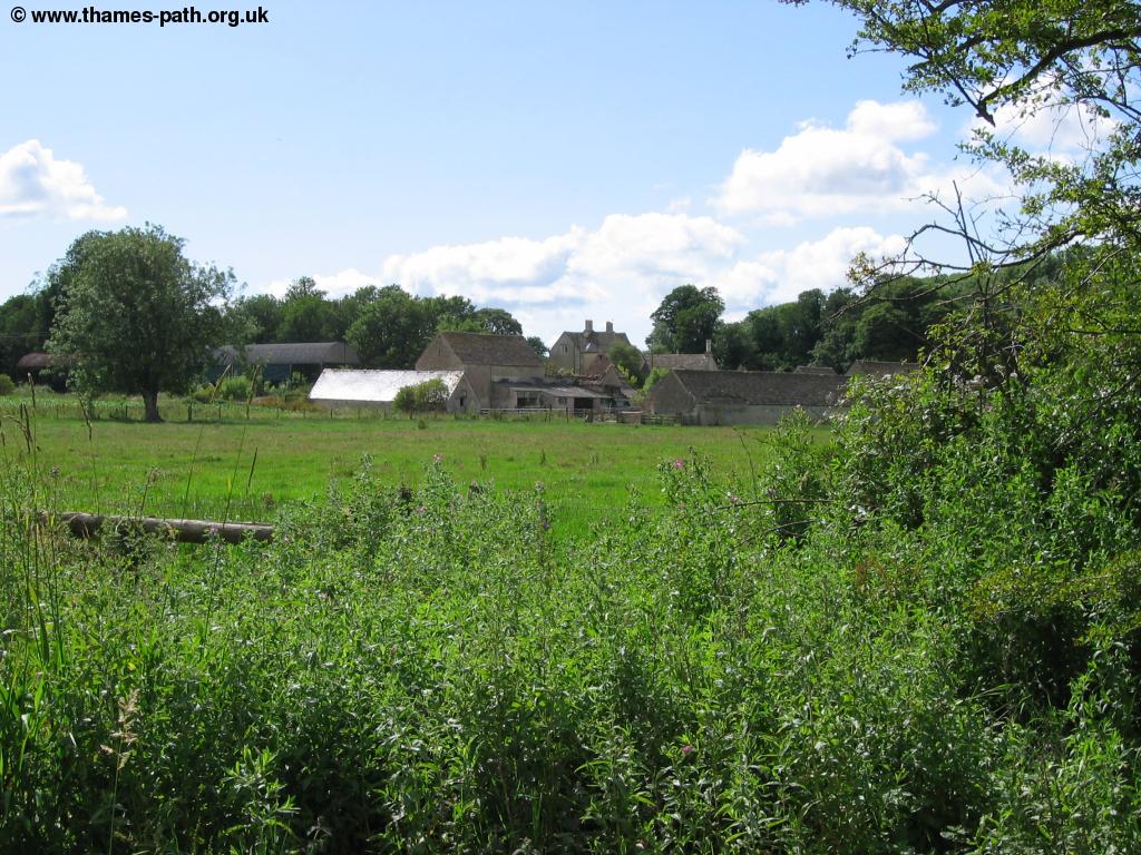
At parkers bridge you turn right with the now barley noticeable Thames to the left, passing by Clayfurlong Farm to the left, on the outskirts of Kemble. Soon you get to the bridge carrying the road into Kemble, which was the last point I saw water on the Thames, as it was dry on the other side of the road and so for me, the Thames began under this bridge near Kemble.
 |
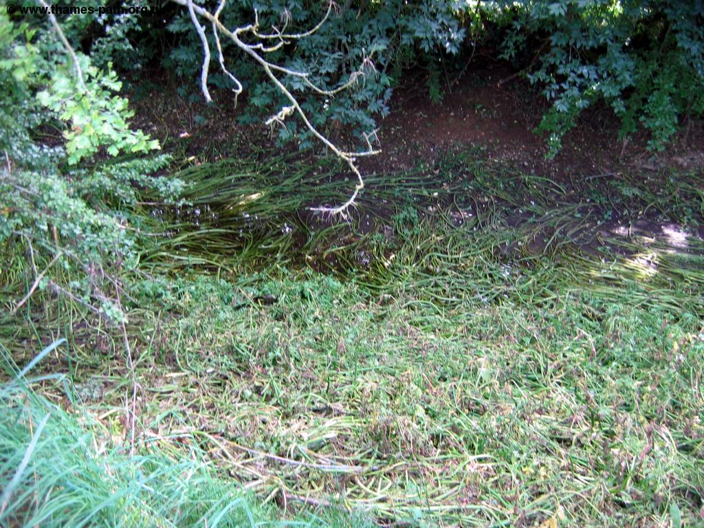 |
| Clayfurlong Farm | The last water of the Thames |
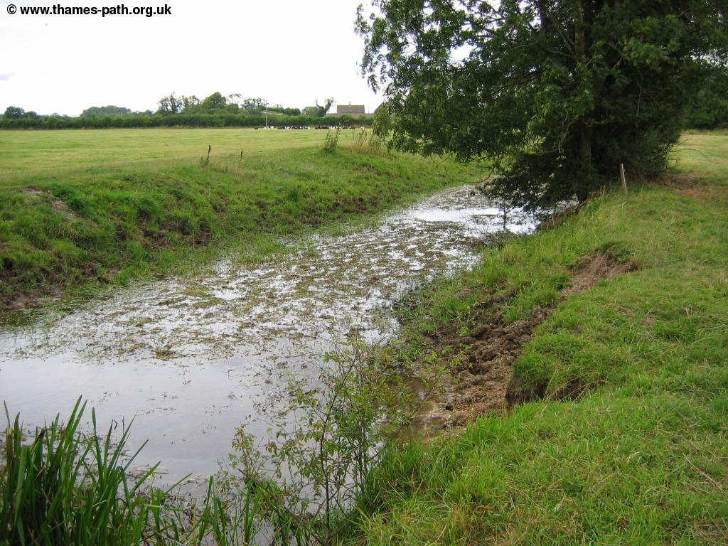
Beyond the road you enter a field where a small wooden bridge could carry a tributary from the Thames, and it's hard to believe water ever flows under this bridge, but it does at times during the winter months.
 |
| The wooden bridge near Kemble |
The course of the Thames is now a grassy dip in the field, but at times water can be seen this far up, as the small wall further up shows.
 |
| A stone wall on the course of the Thames |
As you pass through this lush green field you get to the road, marked as Thames Head on the map, yet the path hasn't finished yet. Crossing the road you enter another field which you then follow towards the official source of the river.
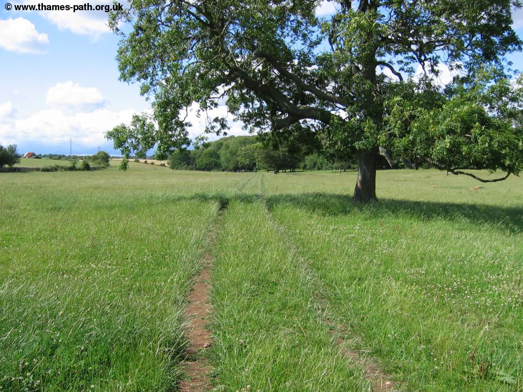 |
| Approaching the source |
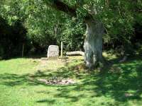
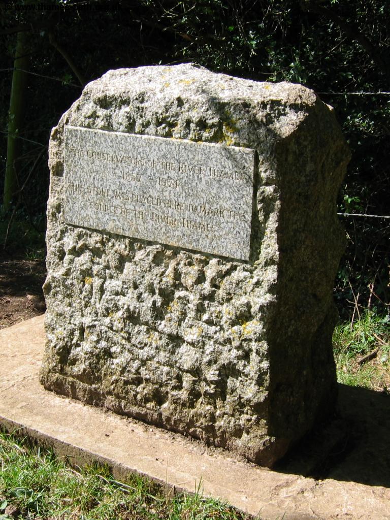
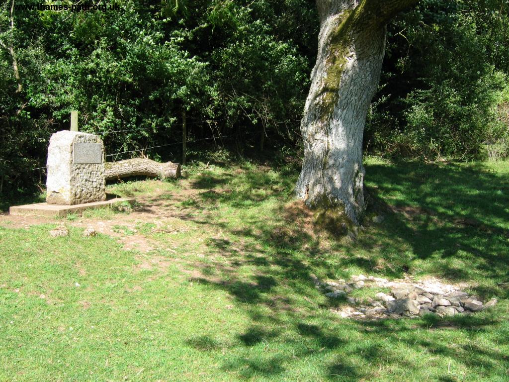
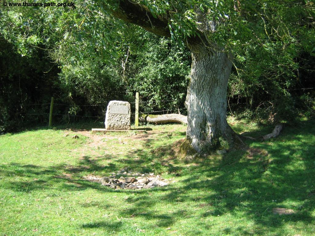
The course of the river is now hard to see as you pass through the field. Over a stile and you enter the last field, where the simple stone that marks the source can be seen, under a tree at the back of the field, with a simple collection of stones. The stone reads The Conservators of the River Thames 1857 - 1974. This stone was placed here to mark the source of the River Thames, a fitting end to this most enjoyable path, which has followed the river from the estuary at Woolwich, past the famous London skyline and through beautiful countryside to this remote Gloucestershire field. I wonder when the Thames is wet here, how long it takes for water to get from here to flow under Tower Bridge in London. For me, this is the end of the Thames Path, but for the group of American visitors I find at the source, it is the beginning of what should be an enjoyable walk to the Capital.
 |
 |
| The stone that marks the source | The source of the Thames |
 |
|
| The source of the Thames |
Getting Back
As the source itself is rather remote, there is no transport from there, and so you need to retrace your steps back towards Kemble. Kemble itself has a rail station though (something of a rarity along the path since Oxford), and it has direct fast trains trains to London. To get to the station, retrace your steps towards the small wooden bridge just before you get to the road into Kemble, cross it and then turn right. When you emerge onto the road you will see the access road to the large station car park on the left, which then takes you to the station. Trains from Kemble are operated by First Great Western and Wessex Trains, with First Great Westerns' services running direct to London Paddington and to Cheltenham in the other direction and generally running once every two hours, but with more frequent peak-time services, whilst the Wessex Trains services typically run as a shuttle service between Swindon and Gloucester, necessitating a change at Swindon if you're heading towards London. Buses operate from Swindon Bus station (very close to the station), back to Cricklade.
By bus, Beaumont Travel service 55 operates a little less than an hourly service from Kemble (including the station), to Cirencester, Northleah, Bourton-on-the-Water, Stow-on-the-Wold and Moreton-in-Marsh.
Links
The following web sites provide information on the area.
Every effort is made to ensure the accuracy of information on this site, but liability will not be assumed in the event of any inaccuracies. Use of the information on this site is at your own risk. If you find any errors, please use the link below. The text and photographs on this web site are all Copyright © and may not be reproduced without prior permission